
District of Columbia, USA
State or territory
Location overview
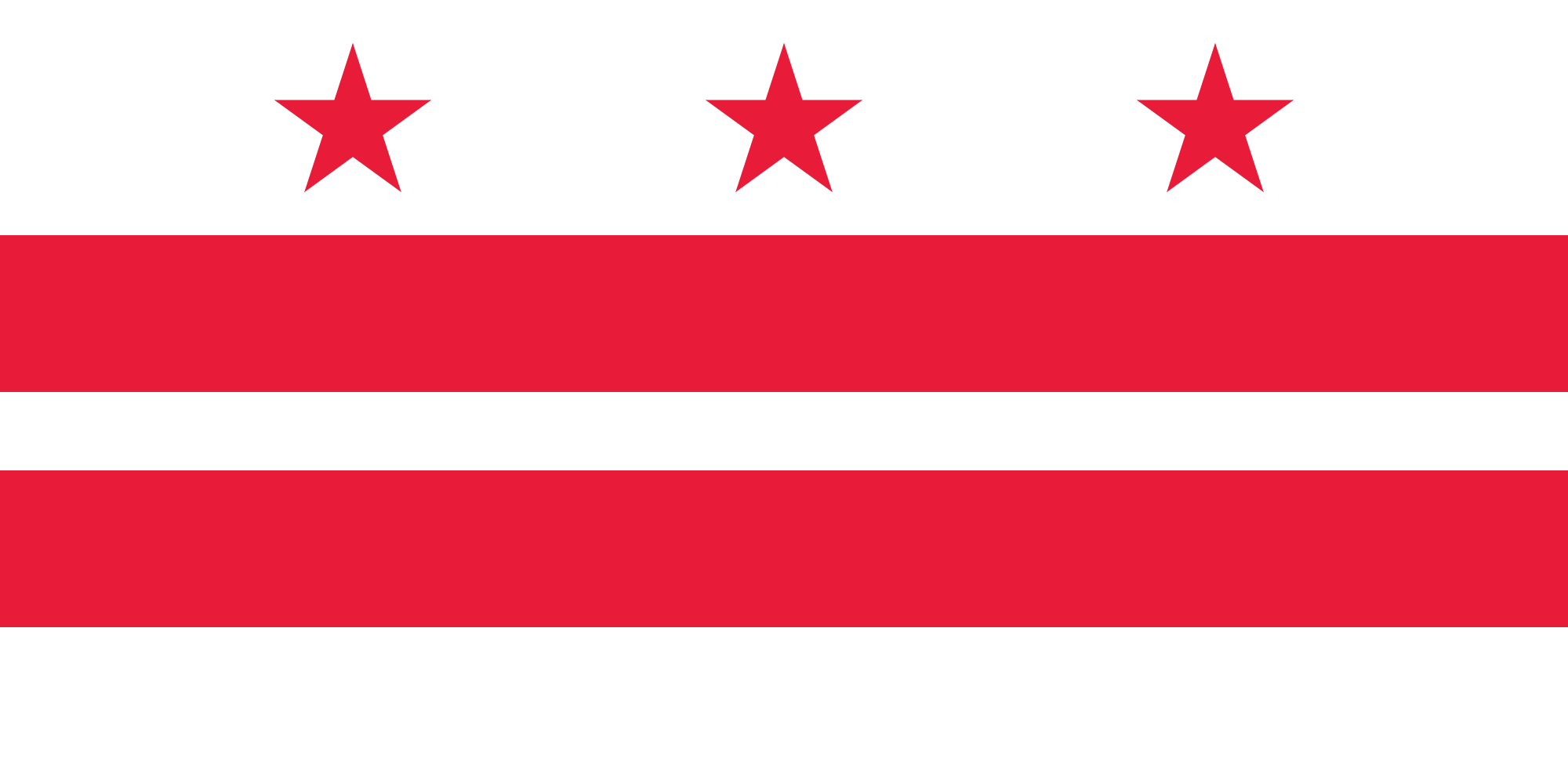
The District of Columbia is a federal district on the Potomac River between Maryland and Virginia and is geographically coterminous with the city of Washington. It covers about 68 square miles, including roughly 61 square miles of land, and is bordered by Montgomery and Prince George’s counties in Maryland and by Arlington County and Alexandria across the Potomac in Virginia. The District’s landscape ranges from the monumental federal core around the U.S. Capitol, National Mall and White House to dense residential and commercial neighborhoods, major institutional campuses, riverfront redevelopment areas and extensive parkland such as Rock Creek Park. Its principal waterways are the Potomac and Anacostia rivers, joined by Rock Creek and smaller tributaries, while its terrain rises from low riverfront areas toward higher ground in the northwest. Established as the permanent seat of the federal government, the District is neither a state nor part of another state and functions simultaneously as a city, county-equivalent jurisdiction and federal district.