
North Dakota, USA
State or territory
Location overview
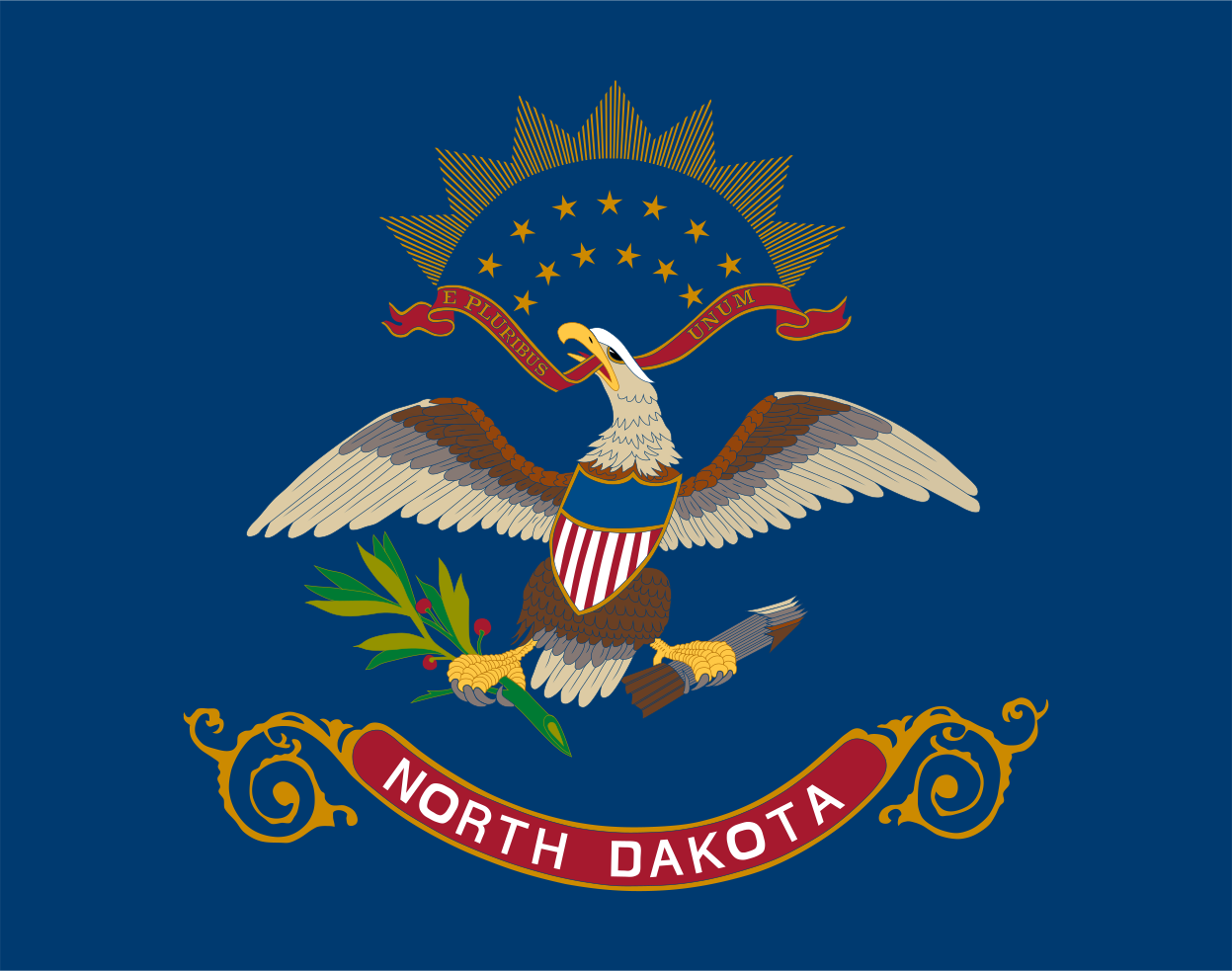
North Dakota is a state in the north-central United States, situated on the northern Great Plains and sharing an international border with the Canadian provinces of Saskatchewan and Manitoba. It is bordered by Minnesota to the east, South Dakota to the south, and Montana to the west. Bismarck is the state capital, while Fargo is the largest city and the state’s principal economic center; Grand Forks, Minot, Williston and Dickinson are other important population centers. The state is divided between the fertile Red River Valley in the east, the rolling Drift Prairie through the center and the Missouri Plateau and Badlands in the west, where Theodore Roosevelt National Park preserves striking badlands scenery and native prairie. Major waterways include the Red River of the North, Missouri River, Souris (Mouse) River and James River, while Lake Sakakawea—formed by Garrison Dam—is among the largest reservoirs in the United States. North Dakota contains 53 counties, covers approximately 68,976 square miles of land and had 779,094 residents in the 2020 census. It entered the Union alongside South Dakota on Nov. 2, 1889, as the 39th and 40th states, with the order intentionally left undisclosed.