
South Dakota, USA
State or territory
Location overview
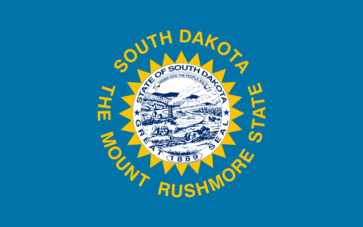
South Dakota is a state in the north-central United States, forming part of both the Great Plains and the Upper Midwest. It is bordered by North Dakota to the north, Minnesota and Iowa to the east, Nebraska to the south, and Wyoming and Montana to the west. Pierre is the state capital, while Sioux Falls is the largest city; Rapid City, Aberdeen, Brookings and Watertown are other important population centers. The Missouri River divides the state into culturally and geographically distinct eastern and western regions. Eastern South Dakota consists largely of glaciated plains, lakes and productive agricultural land, while the west includes semiarid prairie, the deeply eroded formations of the Badlands and the forested Black Hills, where Black Elk Peak rises to 7,242 feet as the state’s highest point. Major waterways include the Missouri, James, Big Sioux, Cheyenne and White rivers, and large Missouri River reservoirs include Lake Oahe, Lake Sharpe, Lake Francis Case and Lewis and Clark Lake. South Dakota contains 66 counties, covers roughly 75,900 square miles of land and entered the Union in 1889.