
Iowa, USA
State or territory
Location overview
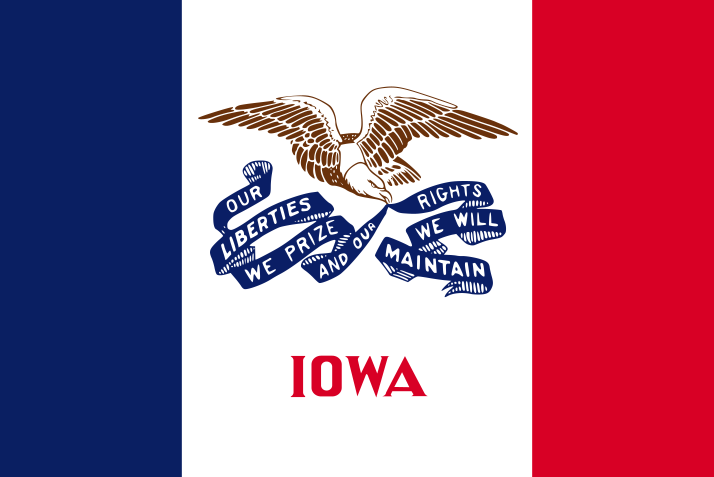
Iowa is a landlocked state in the Upper Midwest of the United States, bordered by Minnesota to the north, Wisconsin and Illinois to the east across the Mississippi River, Missouri to the south, and Nebraska and South Dakota to the west across the Missouri and Big Sioux rivers. Des Moines is the state capital and largest city; Cedar Rapids, Davenport, Sioux City, Iowa City, Waterloo and Council Bluffs are other major population centers. Iowa’s landscape consists primarily of gently rolling plains and highly productive farmland shaped by glacial deposits, with steeper wooded terrain in the Driftless Area of the northeast and the Loess Hills along the western border. Major waterways include the Mississippi, Missouri, Des Moines, Cedar, Iowa and Raccoon rivers. The state is divided into 99 counties, covers about 55,857 square miles of land and had 3,190,369 residents in the 2020 census. Iowa entered the Union as the 29th state in 1846 and remains a major center for corn, soybean, pork and renewable-energy production.