
Maryland, USA
State or territory
Location overview
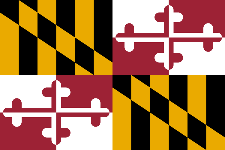
Maryland is a state in the Mid-Atlantic region of the United States, bordered by Pennsylvania to the north, Delaware and the Atlantic Ocean to the east, Virginia and Washington, D.C., to the south, and West Virginia to the west. Annapolis is the state capital, while Baltimore is its largest city and principal urban center; the Washington metropolitan suburbs in Montgomery and Prince George’s counties also contain a large share of the state’s population. Maryland’s geography is unusually varied for its size, extending from the barrier islands and flat coastal plains of the Eastern Shore across the Chesapeake Bay and the densely developed Baltimore–Washington corridor to the Piedmont uplands and Appalachian ridges of western Maryland. The Chesapeake Bay divides much of the state into eastern and western sections and receives major rivers including the Susquehanna, Patuxent, Potomac and Choptank. Maryland contains 23 counties and the independent city of Baltimore, covers about 9,711 square miles of land and had 6,177,224 residents in the 2020 census. It was one of the original thirteen colonies and entered the Union as the seventh state in 1788.