
Missouri, USA
State or territory
Location overview
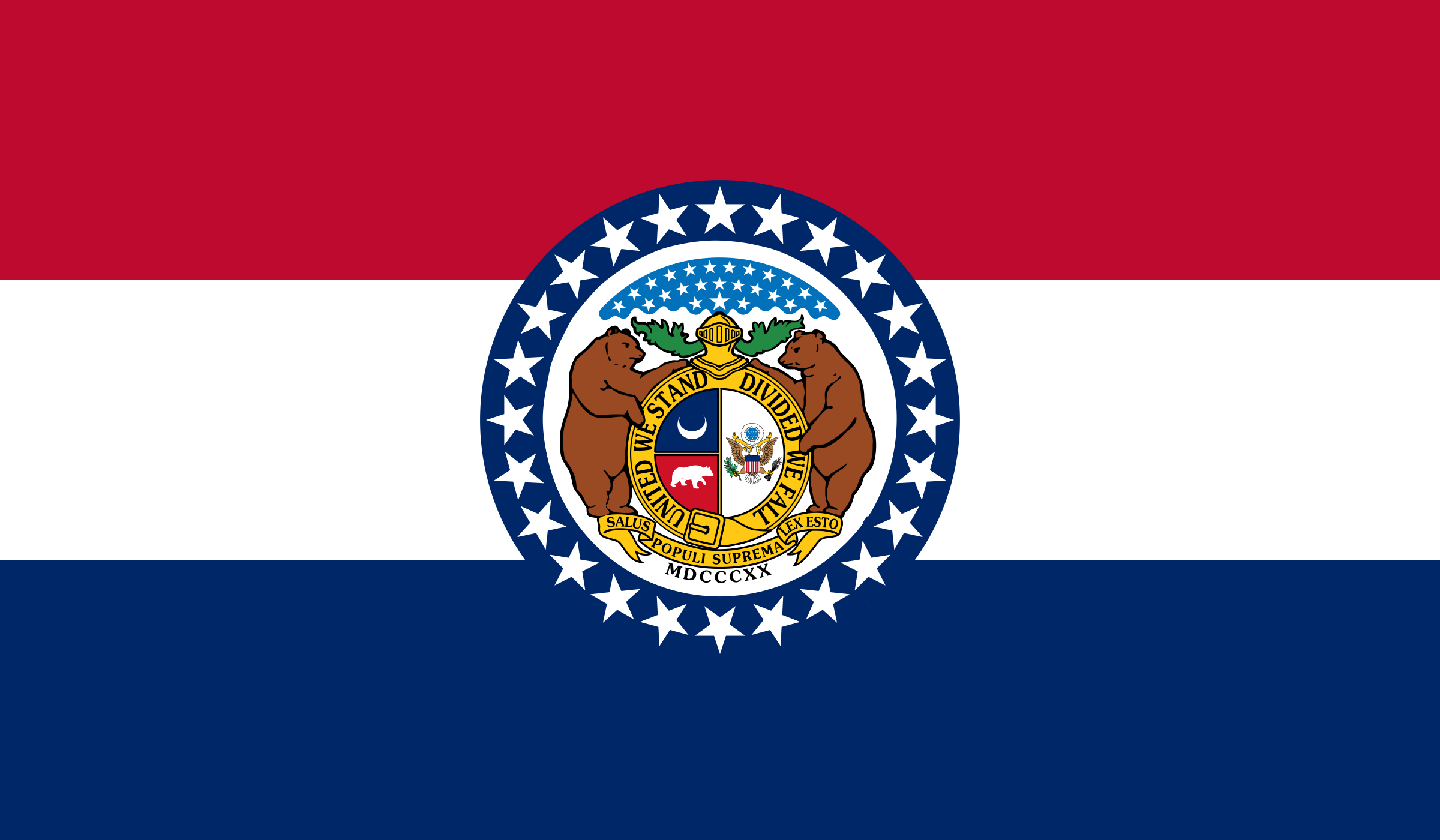
Missouri is a landlocked state in the central United States, bordered by Iowa to the north; Illinois, Kentucky and Tennessee to the east; Arkansas to the south; and Oklahoma, Kansas and Nebraska to the west. The Missouri and Mississippi rivers shape much of the state’s geography and settlement pattern, with the Missouri River crossing the state from Kansas City toward St. Louis and the Mississippi forming its eastern boundary. Northern Missouri consists largely of rolling plains and agricultural land, while southern Missouri is dominated by the wooded Ozark Plateau, known for limestone and dolomite terrain, caves, springs, steep valleys and clear, rocky streams. Jefferson City is the state capital, while Kansas City and St. Louis are its largest metropolitan centers; Springfield, Columbia and Independence are also major cities. Missouri covers about 68,746 square miles of land, had 6,154,913 residents in the 2020 census and entered the Union in 1821 as the 24th state.