
Alabama, USA
State or territory
Location overview
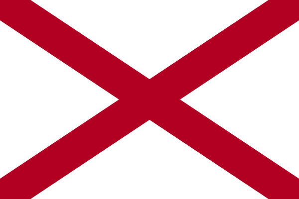
Alabama is a state in the southeastern United States, bordered by Tennessee to the north, Georgia to the east, Florida and the Gulf of Mexico to the south, and Mississippi to the west. Montgomery is the state capital, while Huntsville is the most populous city; Birmingham is the state’s largest metropolitan area and a historic center of industry and commerce. Alabama’s geography ranges from the Appalachian foothills and Tennessee Valley in the north through the fertile Black Belt and rolling Piedmont to the coastal plain and Gulf Coast in the south. Major waterways include the Tennessee, Alabama, Coosa, Tallapoosa, Tombigbee and Chattahoochee rivers, while Mobile Bay forms one of the largest estuaries on the Gulf Coast. The state is divided into 67 counties, covers approximately 50,645 square miles of land and had 5,024,279 residents in the 2020 census. Admitted to the Union in 1819 as the 22nd state, Alabama has a diverse economy centered on aerospace, automotive manufacturing, agriculture, healthcare and military installations.