
Virginia, USA
State or territory
Location overview
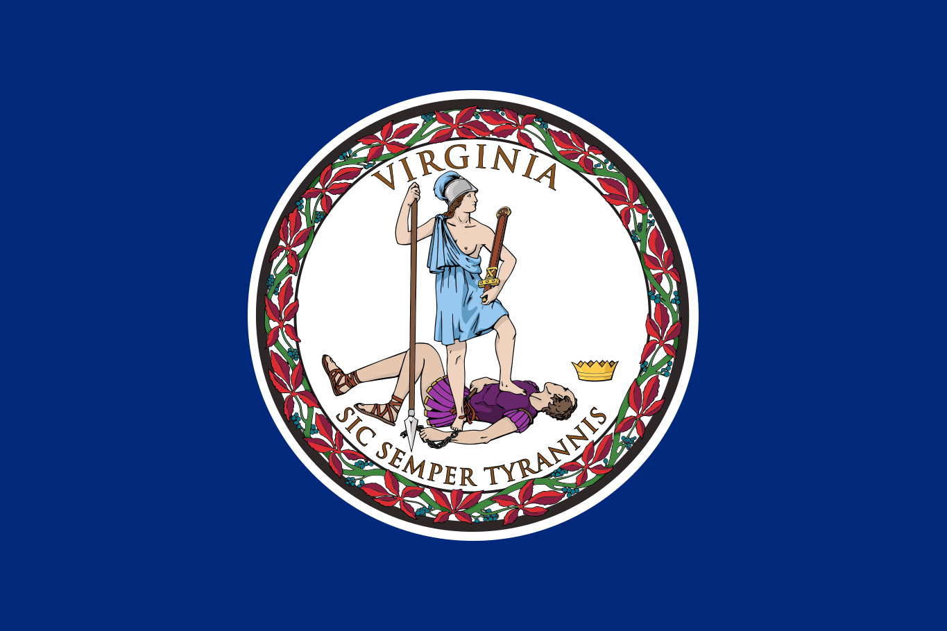
Virginia is a state in the Mid-Atlantic and Southeastern regions of the United States, bordered by Maryland, Washington, D.C., and the Atlantic Ocean to the east, North Carolina and Tennessee to the south, Kentucky to the west, and West Virginia to the northwest. Richmond is the state capital, while Virginia Beach is the largest city; other major population centers include Norfolk, Chesapeake, Arlington, Alexandria, Newport News and Roanoke. The Commonwealth’s geography extends from the Atlantic Coastal Plain and Chesapeake Bay through the rolling Piedmont, across the Blue Ridge Mountains and Shenandoah Valley, to the Appalachian Plateau in the southwest. Major waterways include the Potomac, James, Rappahannock, York and Roanoke rivers, while Chesapeake Bay dominates the eastern landscape and serves as one of the world’s largest estuaries. Virginia is divided into 95 counties and 38 independent cities, covers approximately 39,490 square miles of land and had 8,631,393 residents in the 2020 census. One of the original thirteen colonies, Virginia played a central role in the nation’s founding and became the tenth state to ratify the U.S. Constitution in 1788.