
Utah, USA
State or territory
Location overview
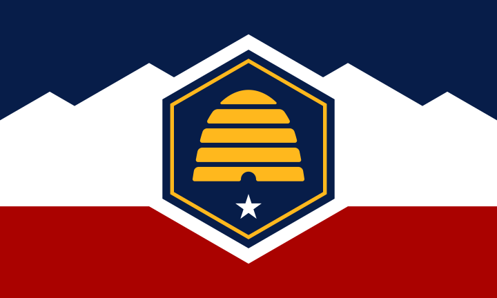
Utah is a landlocked state in the Mountain West region of the western United States, bordered by Idaho and Wyoming to the north, Colorado to the east, Arizona to the south, Nevada to the west and New Mexico at the Four Corners. Salt Lake City is the capital and largest city, and most of the state’s population is concentrated along the Wasatch Front, an urban corridor extending from Ogden through Salt Lake City to Provo. Utah’s terrain is exceptionally varied, combining the snow-covered Wasatch and Uinta mountains, the Great Salt Lake and Bonneville Salt Flats, broad desert basins, high plateaus and the red-rock canyon country of the Colorado Plateau. The Colorado, Green and San Juan rivers drain much of the eastern and southern state, while the Great Basin covers much of western Utah. The state includes five national parks—Arches, Bryce Canyon, Canyonlands, Capitol Reef and Zion—and extensive federal public lands. Utah covers about 84,900 square miles, entered the Union in 1896 as the 45th state and has been among the country’s fastest-growing states in recent decades.