
Ohio, USA
State or territory
Location overview
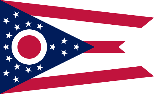
Ohio is a state in the east-central United States, linking the Great Lakes region with Appalachia and the Ohio River Valley. It is bordered by Lake Erie and Michigan to the north, Pennsylvania to the east, West Virginia and Kentucky to the south and southeast, and Indiana to the west; Columbus is the capital and largest city, while other major population centers include Cleveland, Cincinnati, Toledo, Akron and Dayton. Northern and western Ohio consist largely of low, glaciated plains and productive farmland, while the eastern and southeastern parts rise into the wooded hills and valleys of the Appalachian Plateau. Major waterways include the Ohio River along most of the southern boundary and the Cuyahoga, Maumee, Muskingum, Scioto and Great Miami river systems, while Lake Erie provides the state with ports, beaches and access to the Great Lakes–St. Lawrence transportation network. Ohio covers about 44,826 square miles, is divided into 88 counties and had 11,799,448 residents in the 2020 census. It entered the Union in 1803 as the 17th state and developed into a major center of manufacturing, agriculture, transportation, education and commerce.