
Maine, USA
State or territory
Location overview
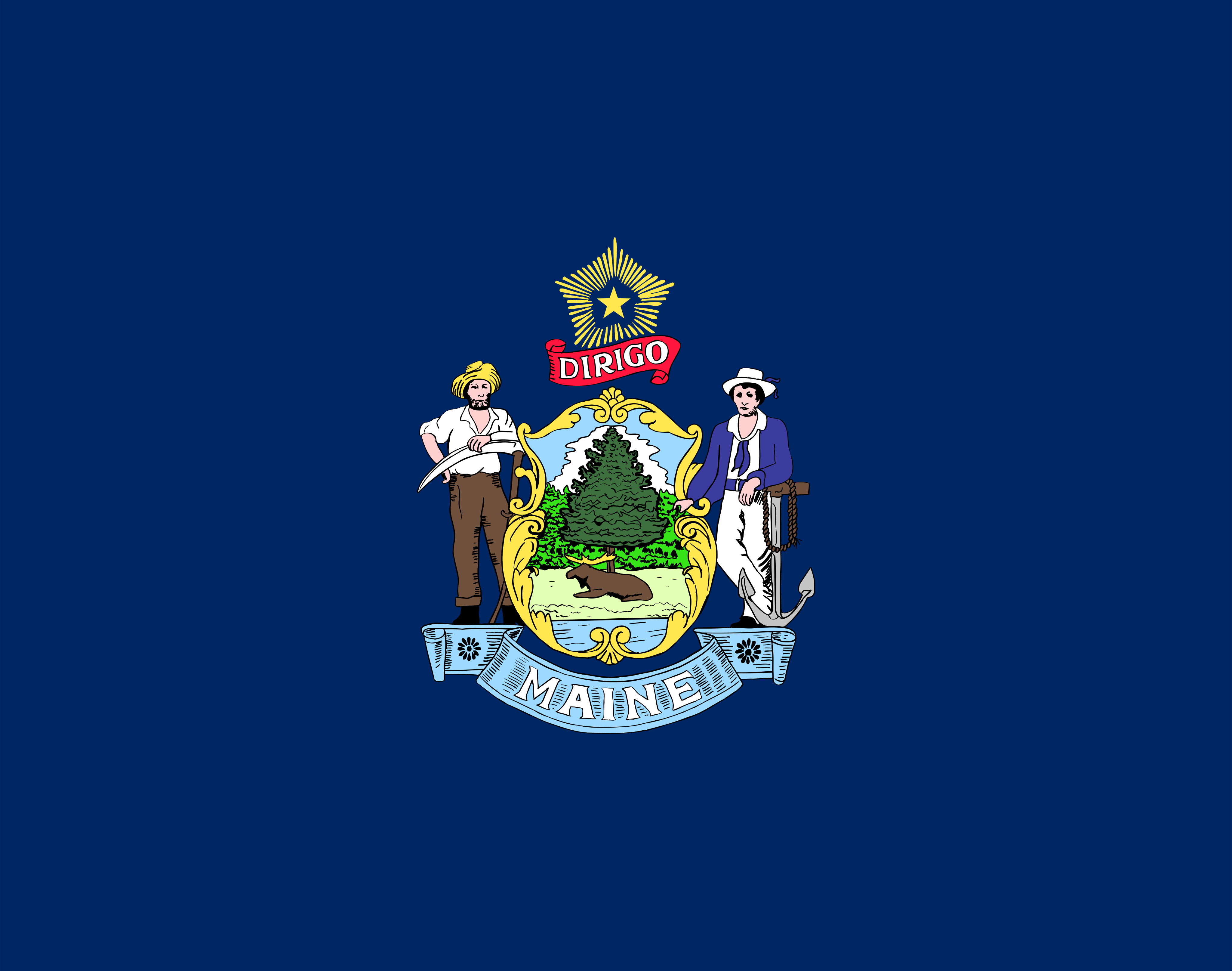
Maine is the northeasternmost state in the United States, occupying the eastern end of New England. It is bordered by New Hampshire to the west, the Canadian provinces of Quebec to the northwest and New Brunswick to the northeast, the Gulf of Maine and Atlantic Ocean to the southeast, and the Bay of Fundy to the east. Augusta is the state capital, while Portland is the largest city. Maine’s landscape ranges from the rugged, deeply indented Atlantic coastline and thousands of offshore islands to extensive forests, lakes, rivers and the Appalachian Mountains in the state’s western interior, including Mount Katahdin, the northern terminus of the Appalachian Trail. The state has the longest coastline in the contiguous United States when its tidal inlets and islands are measured. Major industries include forestry, commercial fishing and aquaculture, tourism, shipbuilding, healthcare, higher education, biotechnology and manufacturing. Maine encompasses approximately 30,843 square miles of land and had 1,362,359 residents at the 2020 census, making it the largest state in New England by area but the least populous.